| | | | | | | | | | ||||||||||
|
|
|
|
|
|
||||||||||||||||||||||||||||||||||||||||||||||||||||||||||||||||||||||
|
|
|
|
|
|
||||||||||||||||||||||||||||||||||||||||||||||||||||||||||||||||||||||
|
|
|
|
|
|
||||||||||||||||||||||||||||||||||||||||||||||||||||||||||||||||||||||
|
|
|
|||||||||||||||||||||||||||||||||||||||||||||||||||||||||||||||||||||||||
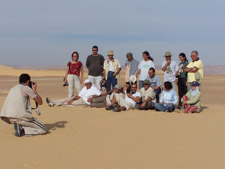


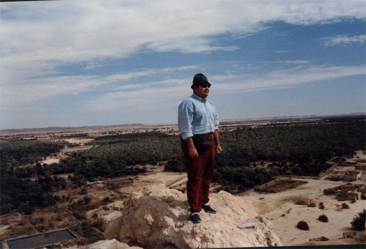
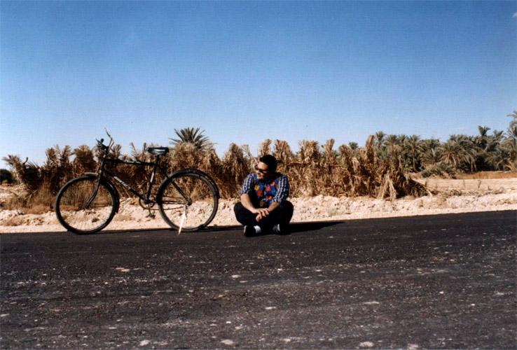
The remote and genuine oasis
Dakhla is the oasis that lies furthest off the main settlements of Egypt. Unlike many other oases, it is situated above sea level, as high as 122 metres. Still it is fed by more than
520 springs and ponds. 75,000 people live in 14 different settlements, each strong local identities and customs. Only Mut and Al-Qasr qualifies as towns. Before the road
came here, Dakhla must have felt like a planet of its own, where only few inhabitants ever came as far as to the neighbouring oases Kharga and Farafra.
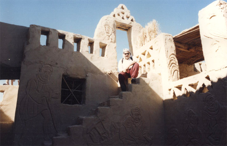
The main towns are Mut and Al-Qasr, the latter the main attraction in the entire oasis. If you have time, the old town of Mut is also interesting. Dakhla has been inhabited for
millenniums, and of old sights, the Muzawaka tombs and Deir al-Hagar temple are the main attractions. At Balat, not far from Bashendi, tombs from the 3rd millennium BCE
have been found, but generally the funerary complex is closed to visitors.
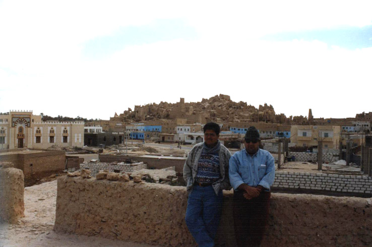
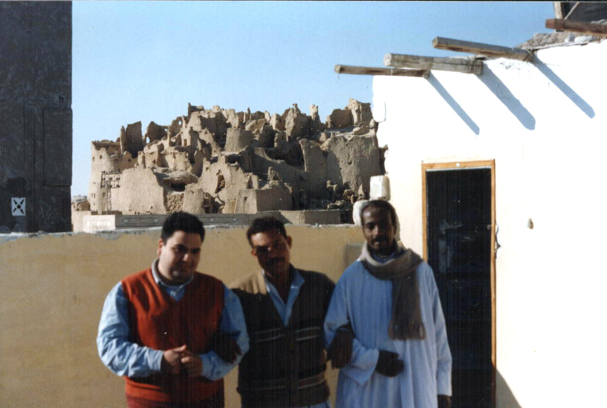
Kharga
Oasis of temples and castles
Kharga is clearly different from the image most people of an oasis out in the desert. It has been the most important town in the development plans for the Western Oases,
and has presently a population of more than 100,000 people. And when the architecture is totally dominated by concrete blocks and wide roads, the result is that few
tourists use more time than necessary in town. During my oasis circuit of 2004 I met several Western travel guides telling me that they omitted Kharga all together, because
there was nothing to see. That is totally wrong, Kharga has sights from 3 millenniums.
Kharga means in Arabic "point of departure", in opposition to Dakhla, "point of entrance", which lies further to the west.
The population of Kharga are Berbers with roots back to the time when the oasis was a station on the famous 40 Days Road between Sudan and Egypt — famous because
of the merchandise; slaves.
|
|
|
|
|
|
||||||||||||||||||||||||||||||||||||||||||||||||||||||||||||||||||||||
|
|
|
|
||||||||||||||||||||||||||||||||||||||||||||||||||||||||||||||||||||||||

Geographical aspects:
Wadi El-Rayan depression is located in the western desert of Egypt, about 65 km southwest of the town of El-Fayoum and 80 km west of the Nile River. The reserve is
composed of:
Upper lake (50.90 km2)
Lower lake (62.00 km2)
Falls between the two lakes
Springs, of which three are sulphur springs at the southern side of the lower lake, with extensive mobile sand dunes.
Jabal Manqueer Al-Rayan at the south and southeast of the springs where marine fossils and archeological remains are found.
Jabal Madwera near the lower lake, which is known for its extensive dune formations.
Flora:
The vegetation is confined to inter-dune areas around springs and at the base of large dunes. The vegetation cover is made of 13 species of perennial plants and a few
individuals of Calligonum comosum and Zygophyllum album.
Fauna:
The area is especially important because it accommodates the world's only known population of the endangered Slender-horned Gazella leptoceros. The Dorcas
Gazella is still found in the area in small numbers while both the Fennec Vulpes zerda and Ruppell's Sand Fox V. rueppelli are scarce. There are 11 species of reptiles, 9
species of mammals, 13 species of resident birds, and 26 migrant and vagrant birds.
Wadi Degla
Located only 15 minutes from the Cairo suburb of Maadi, this rugged valley contains a wide variety of animal life including deer, hares, red foxes, reptiles, Egyptian turtles,
twelve species of resident and migrant birds and 64 kinds of plants.
|
|
|
|
|||||||||||||||||||||||||||||||||||||||||||||||||


Serabit el-Khadim (Arabic, also transliterated Serabit al-Khadim, Serabit el-Khadem) is a locality in the south-west Sinai Peninsula where turquoise was mined extensively
in antiquity, mainly by the ancient Egyptians. Archaeological excavation, initially by Sir Flinders Petrie, revealed the ancient mining camps and a long-lived Temple of
Hathor, the Egyptian goddess who was favoured as a protector in desert regions.
Serabit el-Khadim is not particular easy to get to unless you know where to look. It is not a major tourist destination. While its Pharonic ruins are not that spectacular
compared to those in the Nile Valley, its remoteness and rugged beauty make it a very worthwhile trip. There are a number of plinths, large cartouches, and stone
baboons. The road is barely marked and is not paved from the main shore highway along the Gulf of Suez to the site. The climb to the temple from the dirt road is a
moderately steep one and the temple can be reached in less than two hours, but is difficult in summer when tempatures can approach 50 degrees C. There is no water
(other than local wells) or other facilities. If attempting to go there bring lots of water. The local tribes are responsible for protecting the site from looting and are open to
assisting tourists and hiring out as guides. Some of the rocks in the vicinity of the site have interesting carved graffiti from the 19th and 20th centuries.
|
|
|
|
|
|
||||||||||||||||||||||||||||||||||||||||||||||||||||||||||||||||||||||

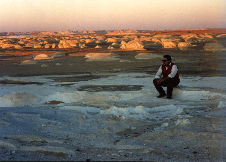

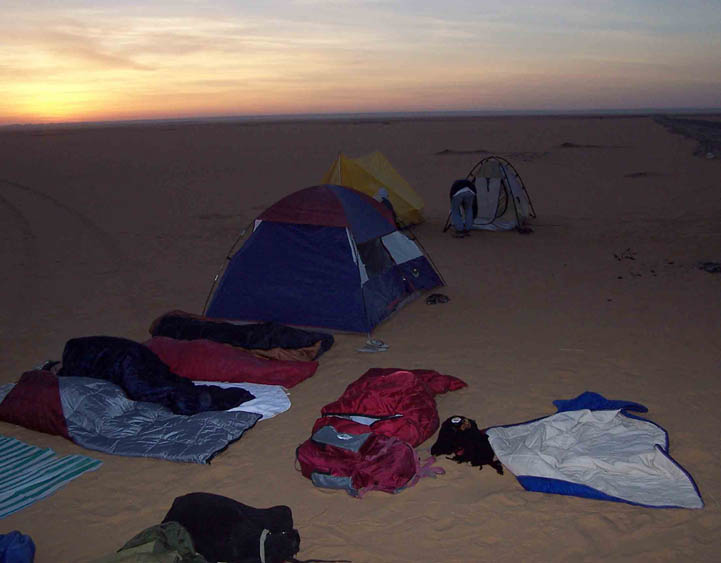
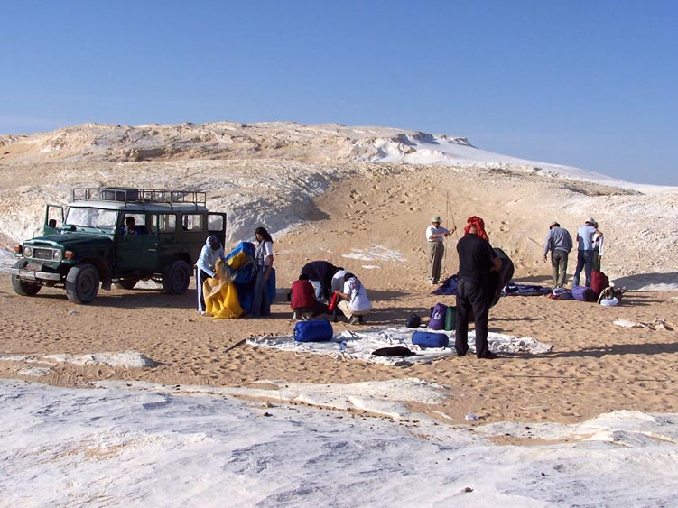
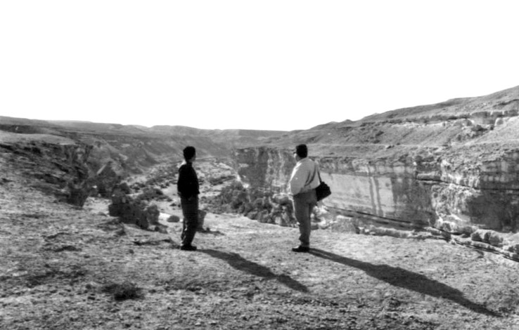
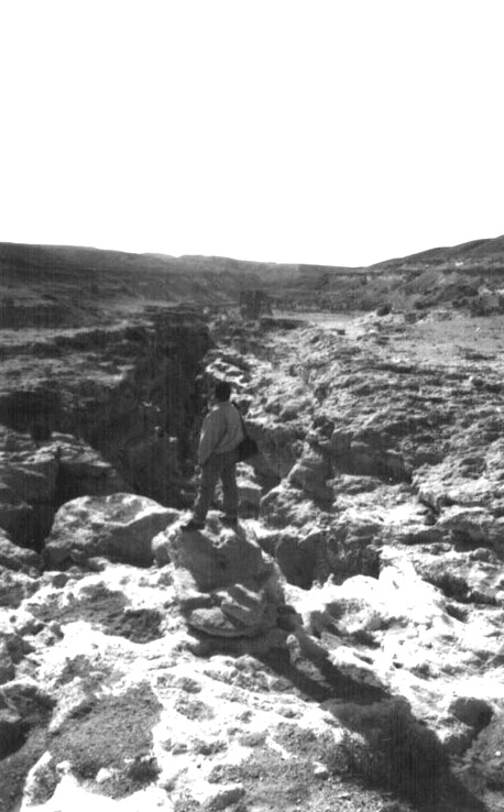
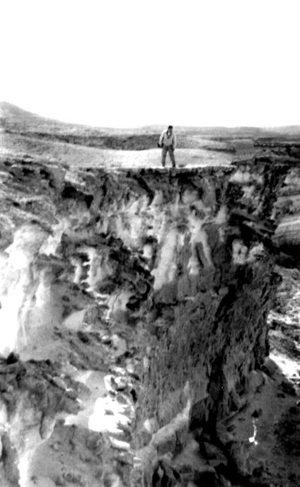
About 45 km north of Farafra, the White Desert begins. It is truly white, in clear contrast with the yellow desert elsewhere. At night, and many of the organized trips out here
include overnight stay out in the desert, it gets a character reminding of an Arctic landscape.
The rock formations of the desert are often quite dramatic, and you should not miss out on the weird rock balancing on top of a white pillar (see picture above).
There are no sorts of settlements or amenities in the desert. Your chances of eating here and spending the night is however big — many who come out here do so as part
of a guided tour which includes a night under the open sky.
Transportation
Trips into the desert is arranged from either Bahariyya or Farafra. If you are going to both oases, then Farafra latter is the better choice, as it reduces the trip from about 400
km to 100 km.
Buses pass through the area, and it is not uncommon that travellers jump off the bus to explore the White Desert alone. Getting out of the desert is generally no big trouble if
you have plenty of time to wait for someone with a free seat in their car or bus.
|
|
|
|
|
|
|||||||||||||||||||||||||||||||||||||||||||||||||||||||||||||||||||||||


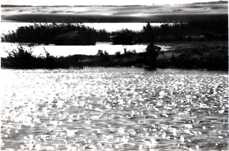
Bir Wahed is both one of the new tourist traps of Siwa, and a quiet, secluded place for spending the late afternoon and evening. This is a well set out 12 km southwest of
Siwa. It is truly a veird place, with water right in the middle of the sand dunes, without the typical oasis vegetation.
Bir Wahed is visited as part of a 4WD excursion, and is considered to be the best place for women to bathe, as there are no locals here.
